 NGDC for Kenya
Directorate of Colonial Surveys (United Kingdom Government)
Type of resources
Topics
Keywords
Contact for the resource
Provided by
Formats
Update frequencies
status
Scale
-
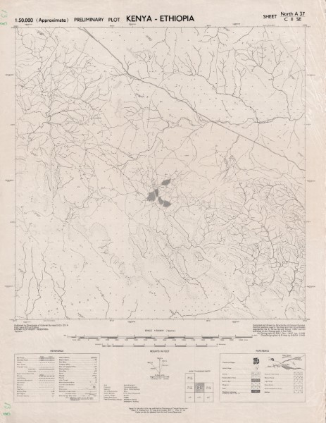
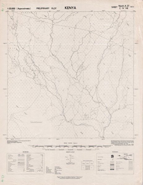
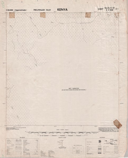
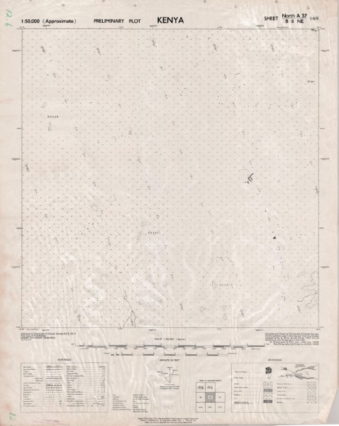
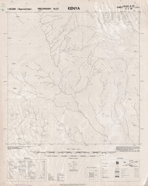
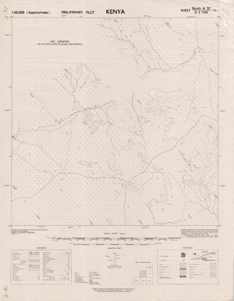
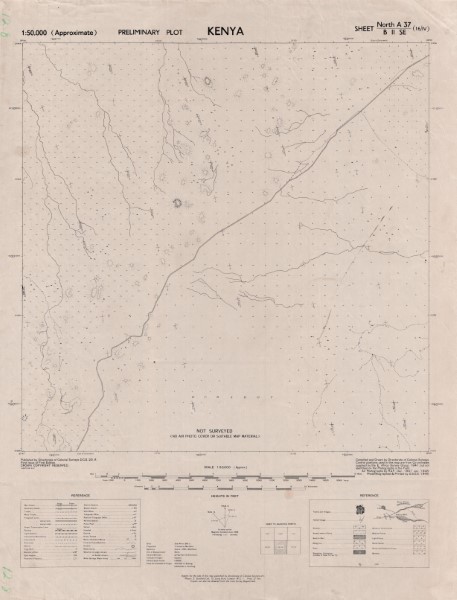
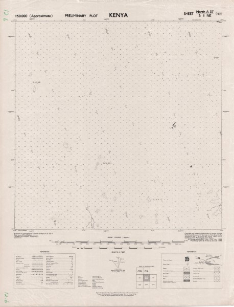
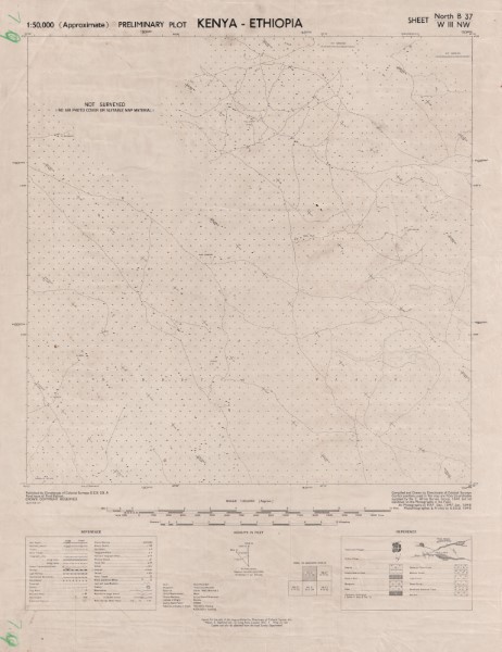
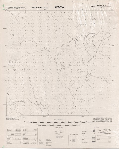
The Preliminary Plot 1: 50 000 scale map serises are the initial topographic maps developed for Kenya. They are nbased on air photographs captured by the Royal Air Force (United Kingdom). They are essentially black an dwhite maps showing a simple interpretation of the key topographic features. CRS: Transverse Mercator, Clarke 1880. Publishers: DCS Directorate of Colonial Surveys (United Kingdom Government); KS Kenya Survey; GSGS War Office (United Kingdom Government); DOS Directorate of Overseas Surveys (United kingdom Government) Except map A37 VI SW South Ndakathima which is in Arc (1960) Clarke (1880)
-
The Preliminary Plot 1: 50 000 scale map serises are the initial topographic maps developed for Kenya. They are nbased on air photographs captured by the Royal Air Force (United Kingdom). They are essentially black an dwhite maps showing a simple interpretation of the key topographic features. CRS: Transverse Mercator, Clarke 1880. Publishers: DCS Directorate of Colonial Surveys (United Kingdom Government); KS Kenya Survey; GSGS War Office (United Kingdom Government); DOS Directorate of Overseas Surveys (United kingdom Government) Except map A37 VI SW South Ndakathima which is in Arc (1960) Clarke (1880)